Description
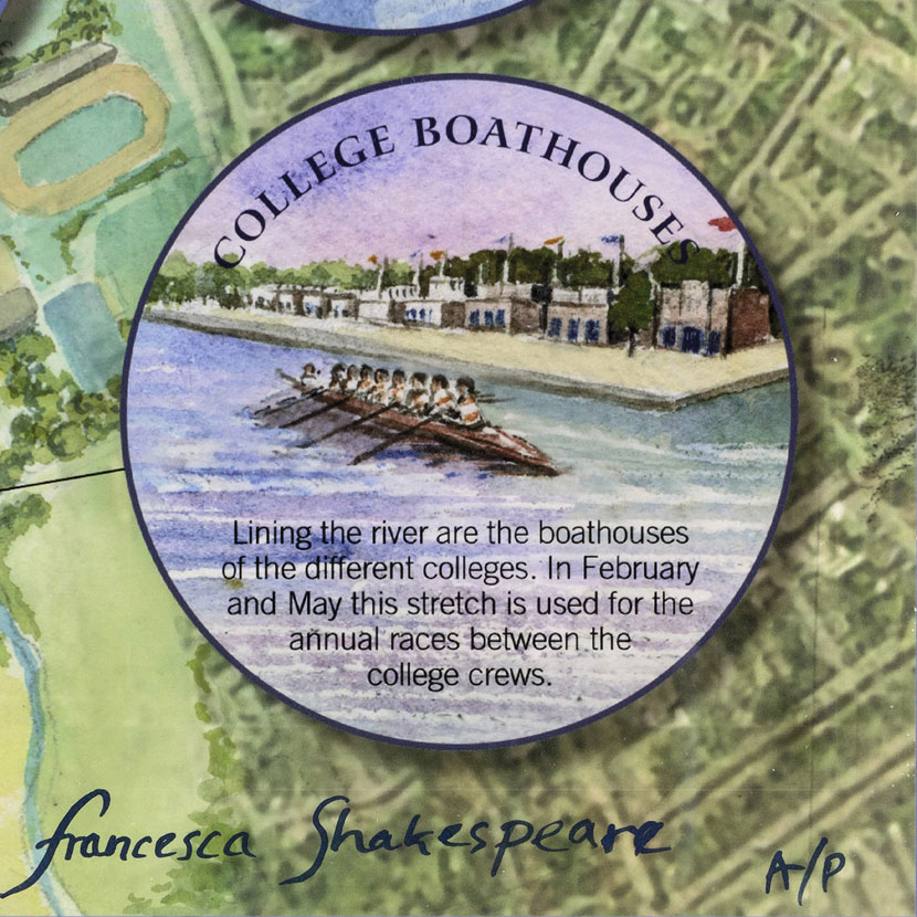
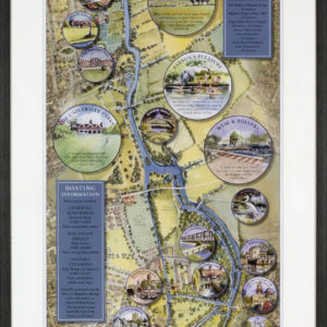
Oxford’s first ever punting and boating map offers a bird’s-eye view of a much-loved stretch of the city’s two rivers. The panorama covers the three miles of the Cherwell and the Thames between the Victoria Arms and Folly Bridge, the most favoured area for punting. Hand-drawn by local artist Francesca Shakespeare, it captures the traditional flavour of a quintessentially English pastime and of the unchanging riverside landscape. The accompanying text not only identifies the principal sights along the riverbank but also offers tips on punting technique, a guide to the rivers and a brief history of punting. The map measures 670cms by 25cms, and has seven panel folds.